AKA:
Number of Burials (approximate): 200
Dates of Activity: 1860 - present
Documentation/Publication:
CCGS, The Cemeteries of Colebrook, East Keating, Grugan, Leidy, Noyes, and West Keating Townships (2008)
Directions/GPS:
From the intersection of Jay and Water Streets in Lock Haven (the Lock Haven Courthouse), travel west on Water Street for 1 mile. Turn right onto PA Route 120 (Susquehanna Avenue) and travel 29.3 miles. Turn right onto Route 144 (Drury Run Road). Travel 8.0 miles. Turn left on Red Hill Lane, in Tamarack. Travel 0.1 mile and the cemetery will be on your right, along the edge of the road extending down over the hill, with the fence next to the road.
GPS = N41 25.172 W77 50.756
Landowner / Caretaker:
Red Hill Cemetery
Star Route
Cross Fork, PA 17729
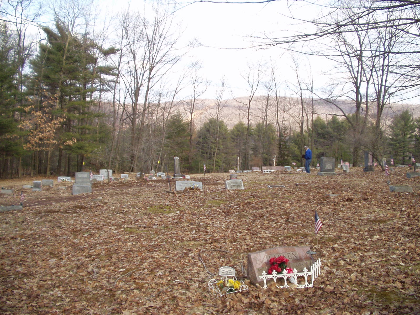
Condition/Needs:
Excellent
History:
This cemetery appears to have started on land of Samuel Kelly, an early settler and Methodist class-leader at Tamarack.