AKA:
Number of Burials (approximate): 100
Dates of Activity: 1850 - present
Documentation/Publication:
CCGS, The Cemeteries of Colebrook, East Keating, Grugan, Leidy, Noyes, and West Keating Townships (2008)
Directions/GPS:
From the intersection of Jay and Water Streets in Lock Haven (the Lock Haven Courthouse), travel west on Water Street for 1 mile. Turn right onto PA Route 120 (Susquehanna Avenue) and travel 38.9 miles, to Keating. Turn left onto Keating Road and go over the bridge. Continue on this road. At 0.7 mile, the road splits three ways. Continue on Keating Mountain Road (gravel) which is toward your left but not the leftmost road. From this point, travel 6.6 miles. At a "T" in the road, bear right, keeping on Keating Mountain Road, and travel another 4.1 miles, a total of 10.7 miles on Keating Mountain Road. (At the 7.5 mile point you will pass a turn-off to Dutchman Road and at 8.5 miles a turn-off to Birch Island Road. Do not take these.) Bear right at a "Y" in the road, and travel 2.5 miles. The cemetery is on your right on a hill as you go around a sharp "S" curve in the road. It is not far from the Clearfield County line.
GPS = N41 10.566 W78 03.440
Landowner / Caretaker:
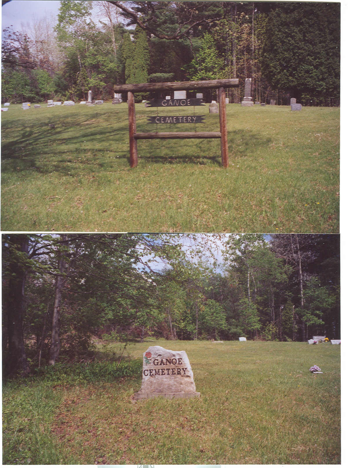
Ganoe Cemetery
Pottersdale, PA 16871
Condition/Needs:
Excellent
History:
The history of this cemetery has not been definitely established, but it appears to serve as a community cemetery for the Pottersdale area. The earliest burials are those of the Rohn family, dating to the early 1850s, and it is quite possible that the cemetery came from their land. Mary Rohn, who died in 1853, is the earliest marked burial. J. Ganoeived near here on the 1862 atlas.