AKA:
Number of Burials (approximate): Unknown
Dates of Activity: 1700s - early 1800s
Documentation/Publication:
CCGS, The Cemeteries of Colebrook, East Keating, Grugan, Leidy, Noyes, and West Keating Townships (2008)
Directions/GPS:
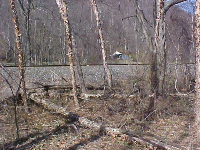
From the intersection of Jay and Water Streets in Lock Haven (the Lock Haven Courthouse), travel west on Water Street for 1 mile. Turn right onto PA Route 120 (Susquehanna Avenue) and travel 36.1 miles. At this point the natural gas line cuts across and you can see the clearing. The cemetery is slightly to the left of this, across the railroad tracks down toward the river, less than 100 yards east of the gas line, on the river flats. There are no remains of the cemetery to be seen.
GPS = N41 16.681 W77 51.407
Landowner / Caretaker:
Department of Conservation and National Resources
P.O. Box 8451
Harrisburg, PA 17105
Condition/Needs:
Destroyed
History:
This ancient burial ground was located on the river flats near the Susquehanna, at Milligan Run, opposite the Fish Dam. It is said to have been a cemetery for the first pioneers and also Native American residents. Werts, Smiths, and Milligans were buried there, according to Gertrude Wheeler's 1954 account. During the June 1, 1889, flood, some of the caskets and roughboxes washed away, as told by Elmer Smith and also reported in contemporary newspaper accounts. The March 17, 1936, flood completely covered the cemetery with silt and other debris.